


With the warmer upon us it’s time to start thinking about spring thawing, which can lead to flooding in some parts of the Municipality. Over the next few weeks we will be sharing flood and water safety related information and resources. Our communication will include: where to get flood forecasting updates, understanding your properties flood risk, roles and responsibilities in a flood, personal preparedness, sandbagging, evacuation protocols, and more.
Subscribe to our News and Public Notices to receive these articles in your email.
This week we’ll be providing information on the Conservation Authority and their Flood Update Watch System.
Where do I access up-to-date flood information for our Municipality?
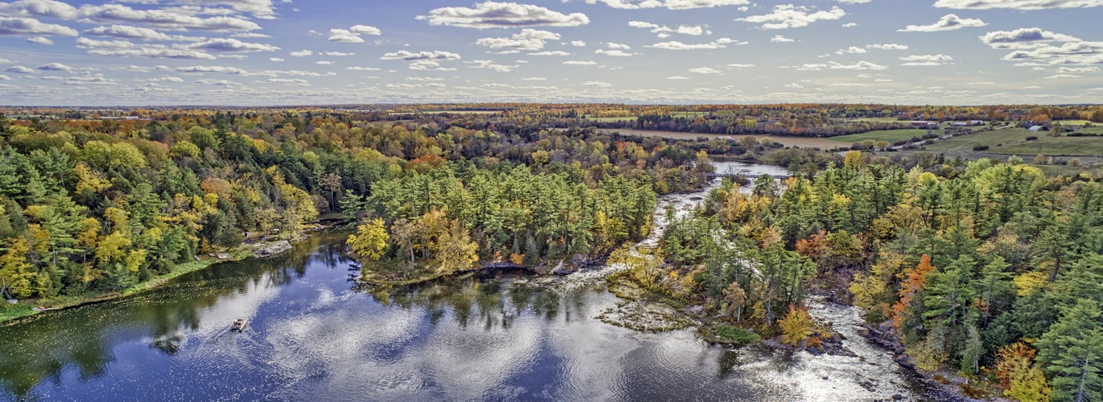
Mississippi Mills waterways are part of the Mississippi Valley watershed, which covers 200 km of the Mississippi River with draining of over 250 lakes and wetlands.
Mississippi Valley Conservation Authority (MVCA) is the lead agency appointed to manage the Mississippi Valley watershed.
You should only trust the MVCA for the most relevant and up-to-date water level and flood information for our Municipality. You may see or hear information shared from other conservation authorities. It is important to remember they manage different water systems and could be seeing and reporting very different conditions, even under the same weather patterns.
Flood forecasting is one of the most important services that the MVCA provides to residents. A timely warning of upcoming high-water conditions is critical to help everyone prepare and respond. Their flood messages are sent to the media, posted on their website and shared in their social media channels. You can subscribe to receive MVCA flood messages via email on their website mvc.on.ca.
The following colour coded symbols describe the watershed conditions:

Normal status indicates that no flood conditions exist. However, even during Normal conditions, the inherent risk to personal safety associated with flowing water still exists.

Watershed Conditions Statement - Water Safety: High flows, unsafe banks, melting ice, or other factors that could be dangerous for recreational users such as anglers, canoeists, hikers, children, pets, etc. Flooding is not expected.
Watershed Conditions Statement - Flood Outlook: Early notice of the potential for flooding based on weather forecasts calling for heavy rain, snow melt, high wind or other conditions that could lead to high runoff, cause ice jams, lakeshore flooding, or erosion.

Flooding is possible in specific watercourses or municipalities. Municipalities, emergency services, and individual landowners in flood-prone areas should prepare.

Flooding is imminent or already occurring in specific watercourses or municipalities.
During flood season the Municipality will be sharing the MVCA’s flood messages on our website, Facebook page and through our News and Public Notices subscriptions to keep residents informed.
For the most relevant and up-to-date water level and flood information please visit the MVCA website at mvc.on.ca