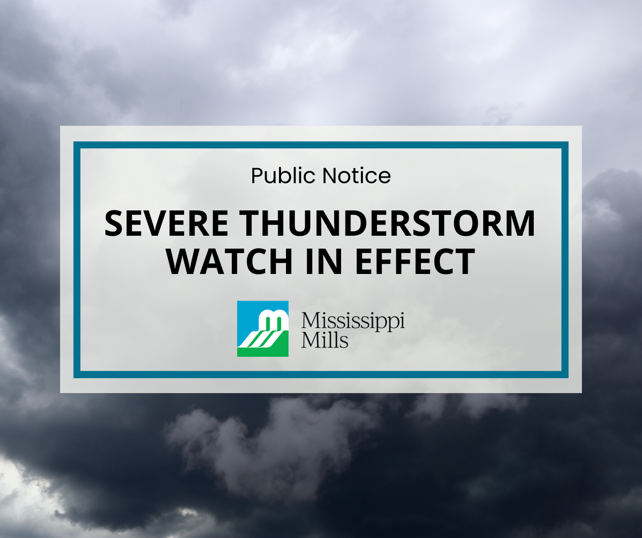
Severe Thunderstorm Watch – July 2, 2026
From Environment Canada
The Mississippi Mills region is under another severe thunderstorm watch this afternoon into this evening.
Conditions are favourable for the development of severe thunderstorms that may be capable of producing strong wind gusts, large hail and heavy rain.
What:
- Wind gusts near 100 km/h
- Heavy rain, possibly exceeding 40 mm
- Up to ping pong ball-sized hail
- Risk of tornadoes
Thunderstorms may develop over the area. Strong wind gusts, large hail and heavy rain are the main threats. There is also a risk of tornadoes. Driving conditions may be difficult. Local utility outages are possible. There is a risk of injury.
When thunder roars, go indoors! Lightning kills and injures Canadians every year. Emergency Management Ontario recommends that you take cover immediately if threatening weather approaches.
Severe thunderstorm watches are issued when conditions are favourable for the development of thunderstorms capable of producing damaging hail, wind or rain.
Please continue to monitor alerts and forecasts issued by Environment Canada. To report severe weather, send an email to ONstorm@ec.gc.ca or post reports on X using #ONStorm. For more information: ontario.ca/page/be-prepared-emergency.
Sign up to our newsfeed
Stay up to date on the municipality's activities, events, programs and operations by subscribing to our daily news digest